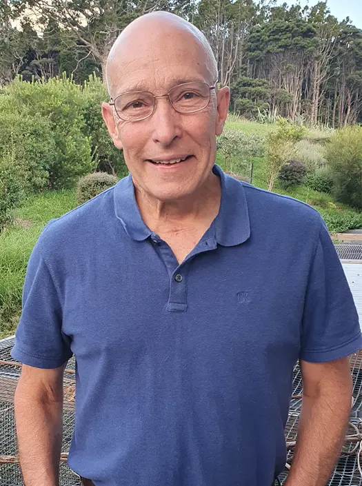
About Sam McClatchie and the Expertise Behind Fishing Maps
Let us help you get in on the action and make your day on the water more productive and fun. Tap into Sam McClatchie’s 30+ years of oceanographic expertise to find those hotspots. Increase your catch rate and lower your fuel costs!
About Sam McClatchie
Oceanographic expertise
Sam’s experience in fisheries oceanography includes a PhD thesis on krill, work on sardines and anchovies in California, and on pilchards in South Australia. He also worked on albacore and temperature fronts off the northwestern U.S., and on plankton and fronts off New Zealand. Sam understands the relationships between plankton, baitfish, their predators, and ocean structure like temperature and chlorophyll fronts, eddies, currents, and bathymetry. This knowledge has been applied to Fishing Maps providing a solid scientific foundation for the product.
Deep experience in California/ Baja and New Zealand
Fishing Maps specialises in California/ Baja and New Zealand — the two regions that Sam knows best through more than two decades working as a research scientist for NOAA in California and NIWA in New Zealand. Sam is an expert on the fisheries oceanography of California and wrote an entire book on the subject. He has numerous scientific publications focused on krill, on sardines & their predators, on ocean structure like fronts and eddies, and on the regional fisheries oceanography of California & New Zealand.
From his 11 years working at NOAA, Sam is known among the scientists at NOAA and NASA who maintain the satellite data used in Fishing Maps. His connections with these scientists are invaluable when detecting and trouble-shooting problems with the data, if they arise.
Highest quality maps
Sam is a programmer and data analyst as well as an oceanographer. He created Fishing Maps from scratch using coding in Python, R, and shell scripting. He is intimately familiar with the product so he can maintain and update the software, as well as create improvements, and add new features. All Fishing Maps are generated every day by customized software to produce top quality maps.
Responsive service
Fishing Maps is a small New Zealand company, based at Huia in the beautiful Waitakere Ranges outside Auckland, New Zealand. Sam is connected to the world by fast fibre Internet, making him easily contactable by email or by WhatsApp call (free for international calls). Sam is responsive to his clients, addressing problems quickly and efficiently to provide a trusted and reliable service.

Testimonials From Our Anglers
We have been using Sam’s SST, Chlorophyll and current maps for a couple of years now and they have proven every time putting on the spots straight away for getting the stripes out west this year we have caught 27 for 13 days fishing, so very grateful for Sam to be producing these maps. Cheers Mate
Pete Jackson
Very informative and willing to help. Would recommend to anyone
Brayden Switacche
