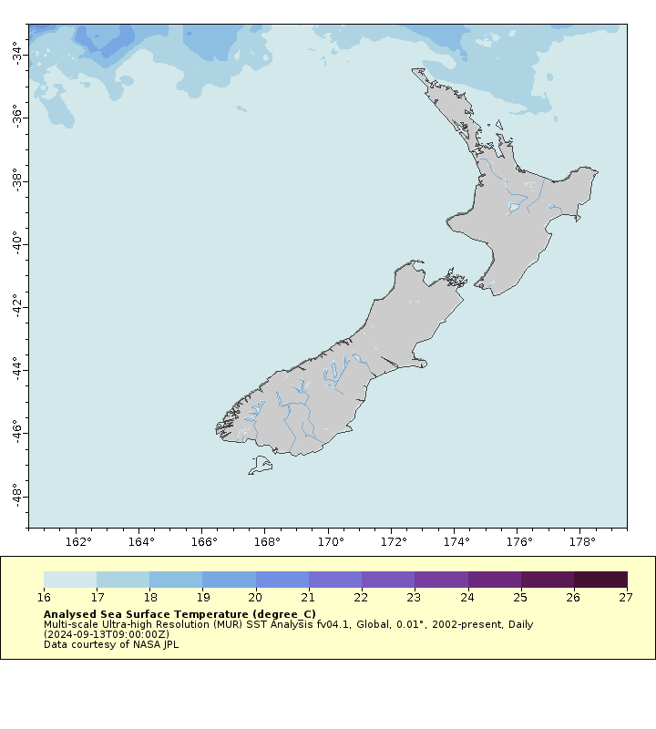
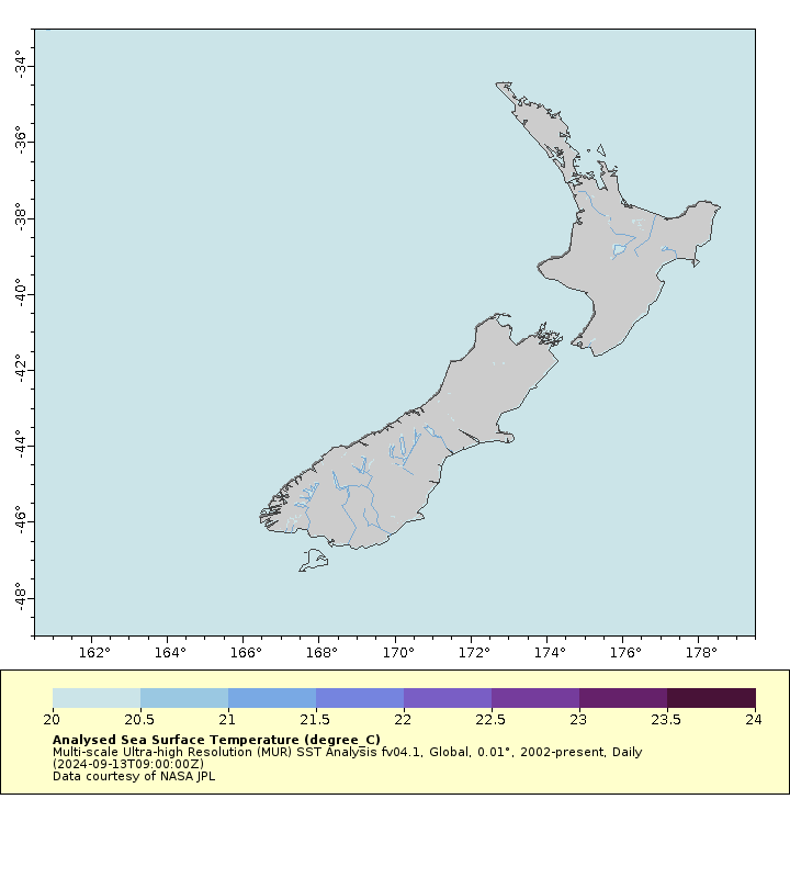
Summer is coming in New Zealand, and in mid-September the temperature ranges for striped marlin are just starting to touch the northern shores. As of 13 September, temperatures are warm enough for striped marlin on the eastern tip of the North Island from North Cape to Whangaroa and perhaps even as far south as the Bay of Islands (Figure 1). However, there are no SSTs off New Zealand in the optimal temperature range for striped marlin (20.5 to 23.5 C) as shown by the empty map in Figure 2.


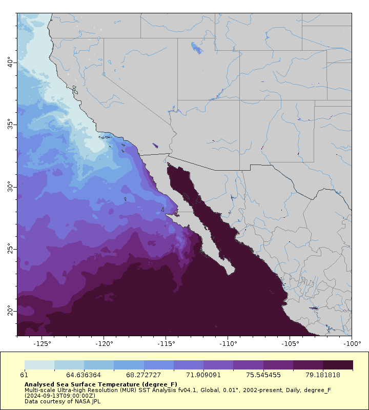
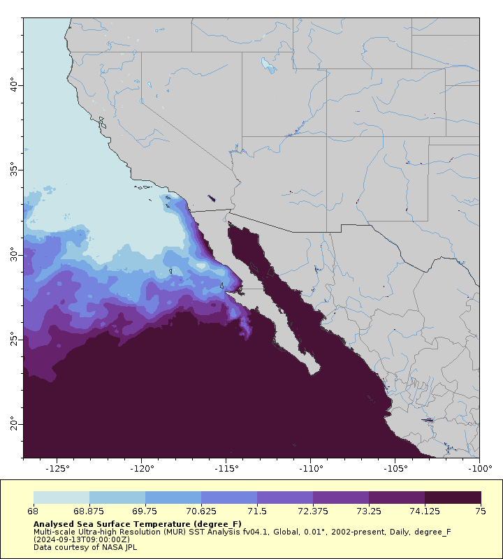
In contrast, the the striped marlin season is in full swing off California and Baja (note that the temperature on the California maps are in Fahrenheit). As of 13 September, favourable SSTs are found anywhere south of Santa Catalina and San Clemente Islands (Figure 3). Optimal temperatures are found in the Southern California Bight off San Diego, and along the coast of Baja Norte. The best temperatures for striped marlin (in the upper part of the optimal temperature range) are south of Punta Eugenia and Isla Cedros (Figure 4).


While fish do occur outside the reported temperature ranges, which in this case is 17 to 26 degrees C (or 63 to 79 F), the range is quite a useful guide to when the seasonal fishery will start in different regions of the country. Fishing Maps updates these fish temperature range maps daily, not just for striped marlin. You can find similar maps for blue marlin, black marlin, yellowfin tuna, bigeye tuna and bluefin tuna on any Fishing Maps subscription. In a future blog post I’ll make some videos that show the progression of optimal temperatures over the year to make these maps come alive.
