How to Use Fishing Maps: Tutorials and Offline Guides
Explore our comprehensive tutorials to learn how to maximize the benefits of Fishing Maps. From step-by-step video guides to using Fishing Maps offline with the free Avenza Maps app, we have all the resources you need to enhance your fishing experience.
You can get all of the maps at once for your fishing trip by simply downloading and extracting the all_maps zip archive. This video shows you how easy it is to do.
This video shows you how to easily get your Fishing Maps navigation files uploaded into Avenza Maps, so you can navigate directly to temperature breaks and favourable areas for fishing.
The maps update to the online store every three hours. If you happen to try to access your maps during an update, you won’t see all of the files. Just wait 10 minutes and try again.
Downloads tend to pile up and can actually slow your phones performance. This video shows you how to clear junk from your downloads directory on Android.
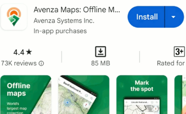
You need the free version of Avenza Maps to use the geolocated bathymetry, SST, chlorophyll and current maps. This video shows you how to install the app from the Google playstore on an Android device. If you have Apple devices, google for install instructions.
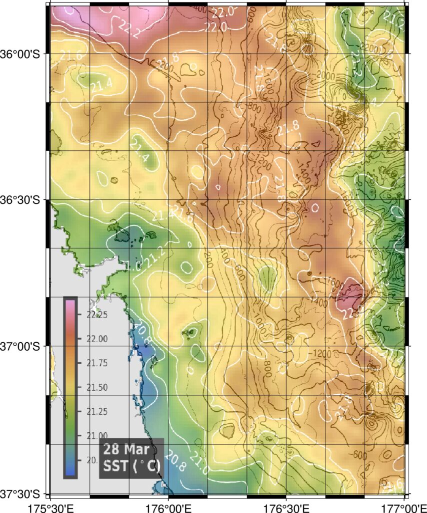
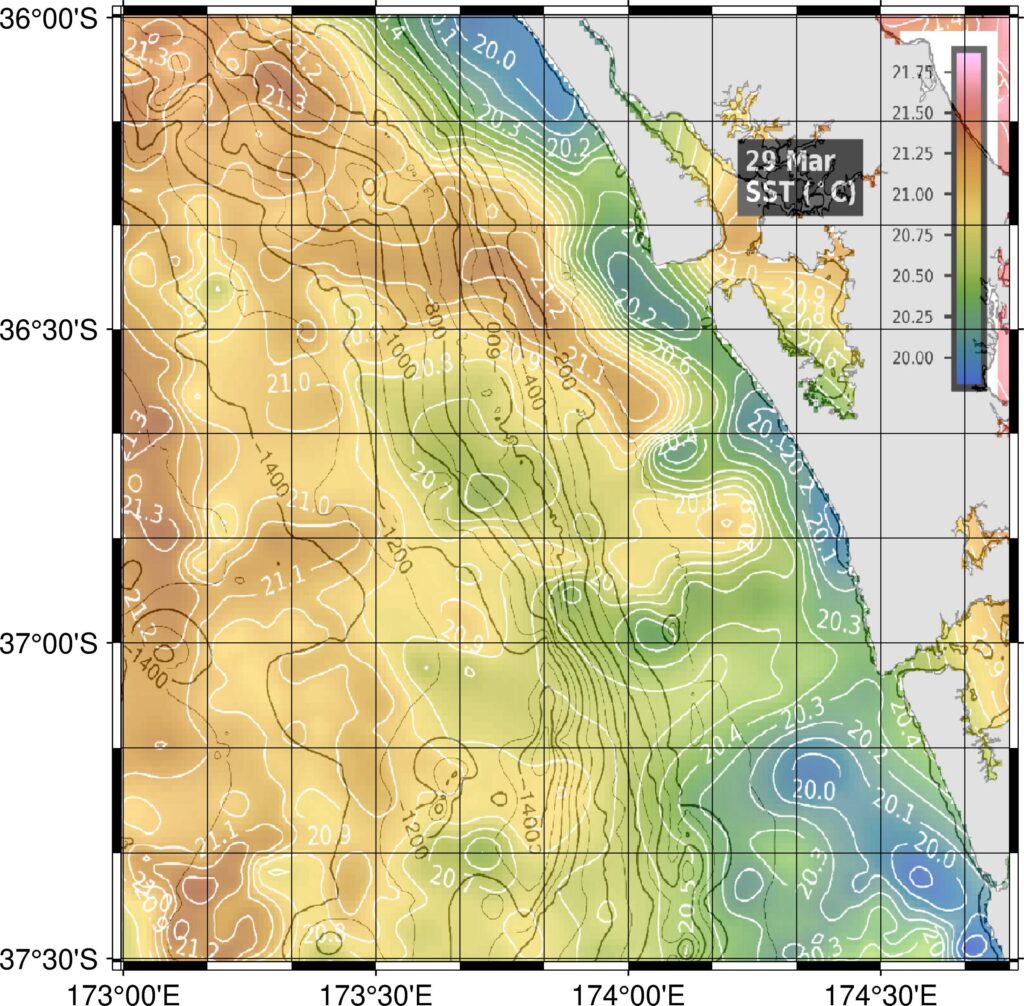
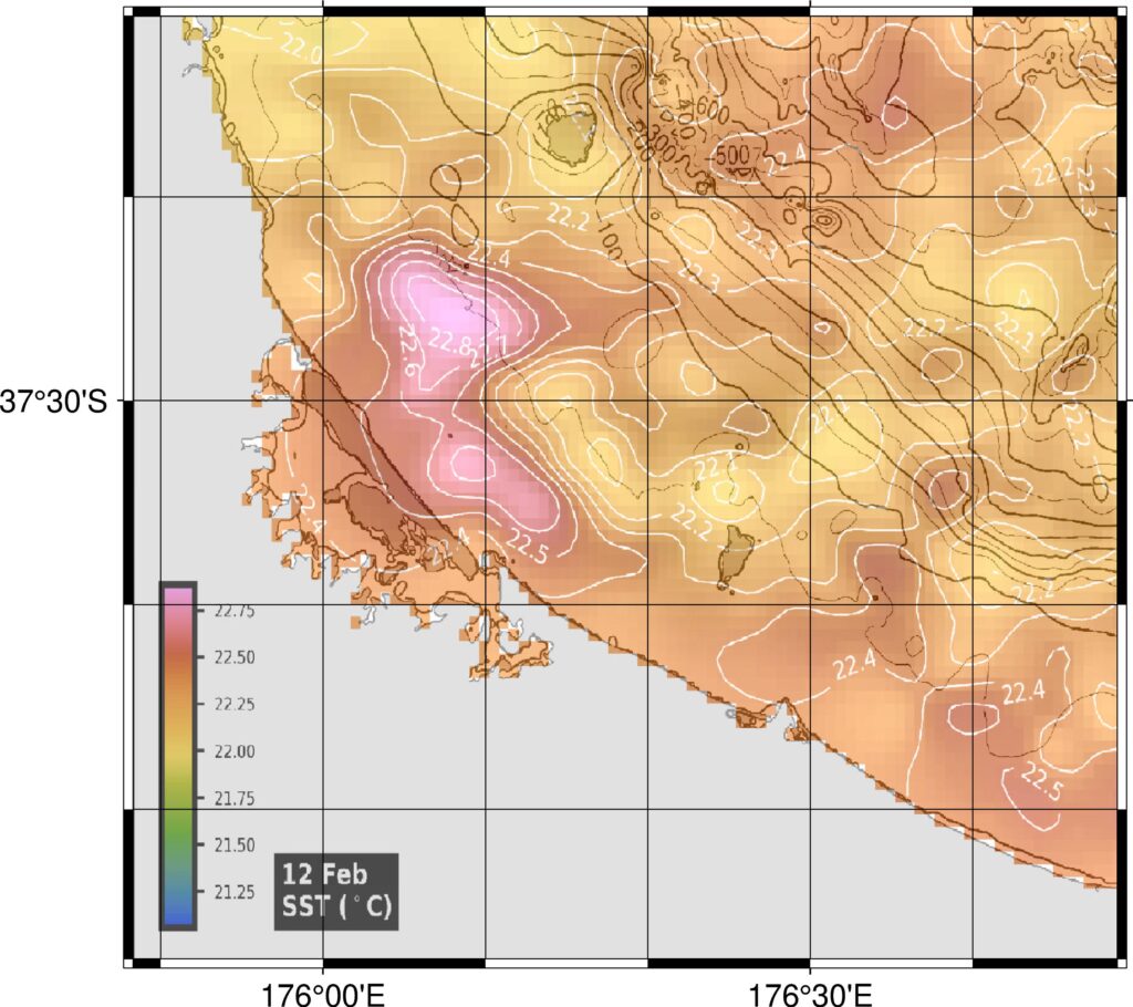
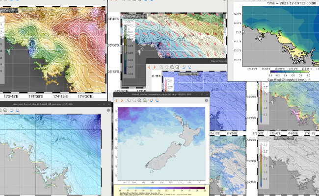
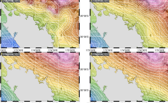
This video shows how to use more of the information available to you to give you a more solid definition of where is the most likely place to encounter game fish. Looking at maps over time is important to understand how favourable conditions develop.
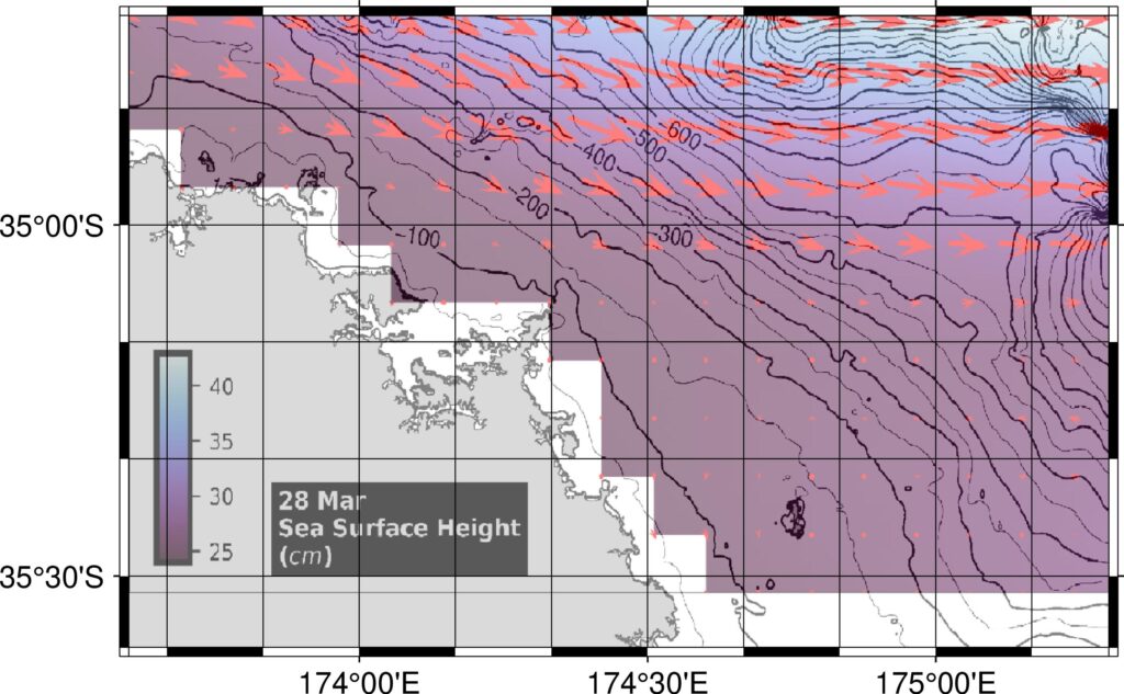
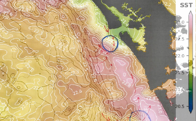
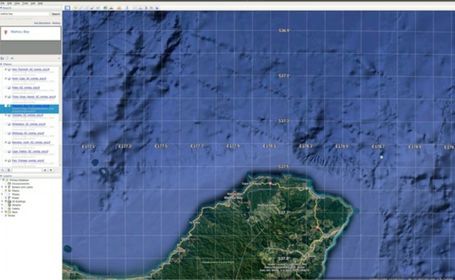
Virtually all of the bluefin tuna caught by recreational fishers is caught at Waihau Bay on the East Cape of New Zealand. In this video I explain that Waihau Bay is likely to be a good spot for bluefin because of the relationship between current flows and the canyons that intersect the narrow continental shelf.
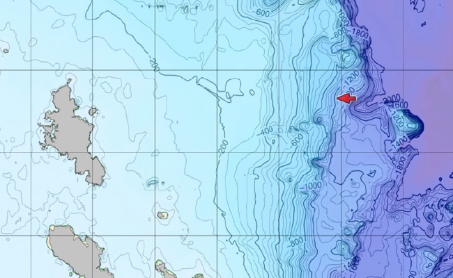
Bathymetry is a key factor for locating large pelagic fish. This video explains in more detail using an example from Mercury Knoll, off coromandel, New Zealand.
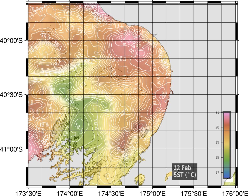
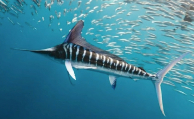
Large pelagic fish tend to be found within certain temperature ranges, although there are exceptions where a fish will turn up in colder (or warmer) than normal temperature for them. Fishing Maps provides temperature range maps for important game fish species. This video explains how to interpret these maps.
From time to time, SST data delivery to the databases at NASA and NOAA can be delayed, causing the dates on cloud-free SST maps to be out of sequence. This video explains why this happens, and how fishers can make use of additional information on Fishing Maps to work around the problem.